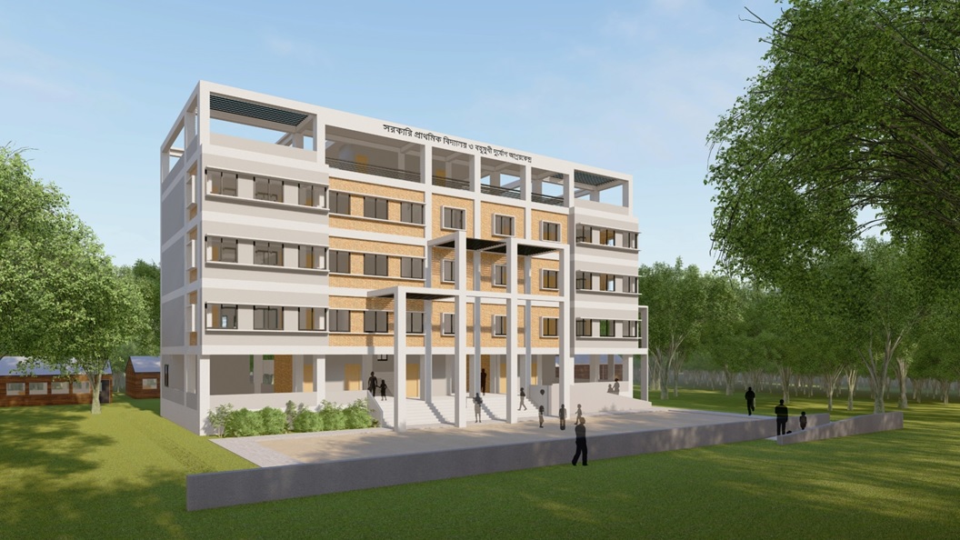
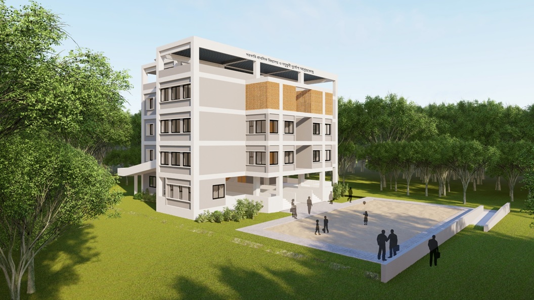
Kataduar, Chatra, Pirganj, Rangpur
| Shelter Selection Data | |
|---|---|
| Internal Code | RAN-011 |
| Land Owner | Govt. |
| Distance From Closest Shelter | N/A |
| River Name | Jamuneswari River |
| Distance From River | 0.85 |
| Highest Flood Level | 1.22 |
| Population in radious of 1.5km | 9000 |
| Population in radious of 1.5km projected for 2035 | 10345.26792 |
| Pucca Building | 30 |
| Semi Pucca Building no | 2000 |
| Tin shed building with wooden piller | 1000 |
| Tin shed building with bamboo piller | 400 |
| Thatched Building | 10 |
| Shanty | 250 |
| Land Quantity (Des) | 73 |
Level 3 Workshop Building, LGED Bhaban
Agargaon, Dhaka, Bangladesh
info@riverbd.org
© RIVER. All Rights Reserved.